Community Corner
Cooler Weather On The Way
This week's highs could dip into the 70s in the Palm Desert area, according to the National Weather Service.


A series of storms from the Golf of Alaska were expected to bring cooler temperatures to the Palm Desert area this week, according to the National Weather Service.
But some lingering subtropical moisture Monday could produce a few thunderstorms in the mountains around the Coachella Valley, and the possibility of flooding, forecasters warned in a special weather statement.
Monday's high was expected to reach 98 degrees, with temperatures dropping dramatically to a high of 82 degrees on Tuesday.
Find out what's happening in Palm Desertwith free, real-time updates from Patch.
That trend will continue as a stronger cold front moves in Wednesday, bringing a potential high of 79 degrees that day and a high of 76 on Thursday, the weather service reported.
The overnight lows were expected to be in the 50s.
Find out what's happening in Palm Desertwith free, real-time updates from Patch.
The storms were expected to bring up to 1 1/2 inches of rain to Southern California, but not as much in the deserts.
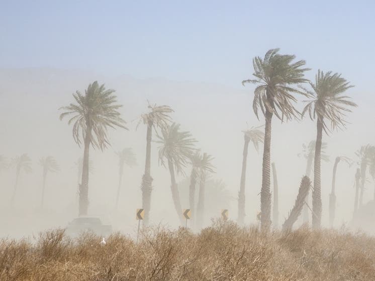
"A second stronger and colder system will bring widespread moderate rain and show as well as strong gusty winds to the mountains and deserts,'' the NWS reported.
Are you looking forward to cooler temperatures here in the Coachella Valley? Let us know in the comment section below.
Get more local news delivered straight to your inbox. Sign up for free Patch newsletters and alerts.